Master GIS, drone mapping, photogrammetry and satellite data — develop the practical geospatial skills to capture, analyse and visualise location intelligence across oil & gas, banking, telecoms, mining, environment, construction and infrastructure.
Last reviewed: 24 September 2026 · Reviewed by Paleon Training
Overview
What is the GIS and Drone Mapping course?
In short
GIS and Drone Mapping is a beginner-level online course from Paleon Training: 9 days of curriculum and 18 lessons. Each lesson is written, illustrated and paired with a video, with assignments and quizzes along the way. The course ends in a capstone project. The course fee is ₦200,000.
Who it’s for
Beginners, especially graduates of geography, geology, surveying, environmental science and engineering, plus NYSC members and professionals who want to work with maps, drones and spatial data. No prior GIS experience is needed.
Curriculum
What you’ll learn
Day
Module
Day 1
GIS Fundamentals & Spatial Concepts What GIS is, raster vs. vector data, real-world use cases and getting started with QGIS.
Day 2
Coordinate Systems, Projections, and Map Fundamentals Latitude/longitude, projections, UTM, and scale, legend and orientation; QGIS vs. ArcGIS.
Day 3
Spatial Data Sources, Quality, and Storage Where spatial data comes from, and how to clean and store it.
Day 4
Remote Sensing, Spectral Indices, and Change Detection Satellite sources, spectral indices, classification and change detection.
Day 5
Drone Types, Regulations, and Flight Planning Drone types, Nigerian regulations, flight planning and ground control points.
Day 6
Photogrammetry, Orthomosaics, and 3D Mapping Products Orthomosaic generation, 3D point clouds and LiDAR.
Day 7
Spatial Analysis and Thematic Mapping Buffering, overlay, surface and network analysis, and thematic maps.
Day 8
GIS Project Planning and Delivery Scoping and resourcing a project; stakeholder engagement and delivering results.
Day 9
Industry Applications Across Sectors Oil & gas, banking, telecoms, mining, environmental management, construction and infrastructure.
How it’s taught
Practical, project-based learning
Illustrated lessons — every lesson has a diagram built for its specific concept.
A video for every lesson — read it, watch it, or both.
Assignments and quizzes to practise and check understanding as you go.
Capstone project: GIS and Drone Mapping Sector Capstone — a mapping project built around one of seven sector options.
Certificate of completion when you finish the course.
CV and reference support when you finish the course and your capstone.
Real feedback from students who completed the course, shared with their permission.
Before you enrol
What you get, and how it works
Try it free first
The first lesson of Day 1 is free to read and watch — no account needed. Open the free lesson.
Self-paced, start anytime
Start as soon as your payment is confirmed and study at your own pace, on your phone or laptop.
Lifetime access
Once you’ve paid, you keep access to every lesson and video — it doesn’t expire.
7-day refund
Changed your mind? Cancel within 7 days of your payment being confirmed and get a full refund, as long as you haven’t started Day 2. Try Day 1 first. Card payments are taken securely by Paystack. Read the terms.
Certificate of completion
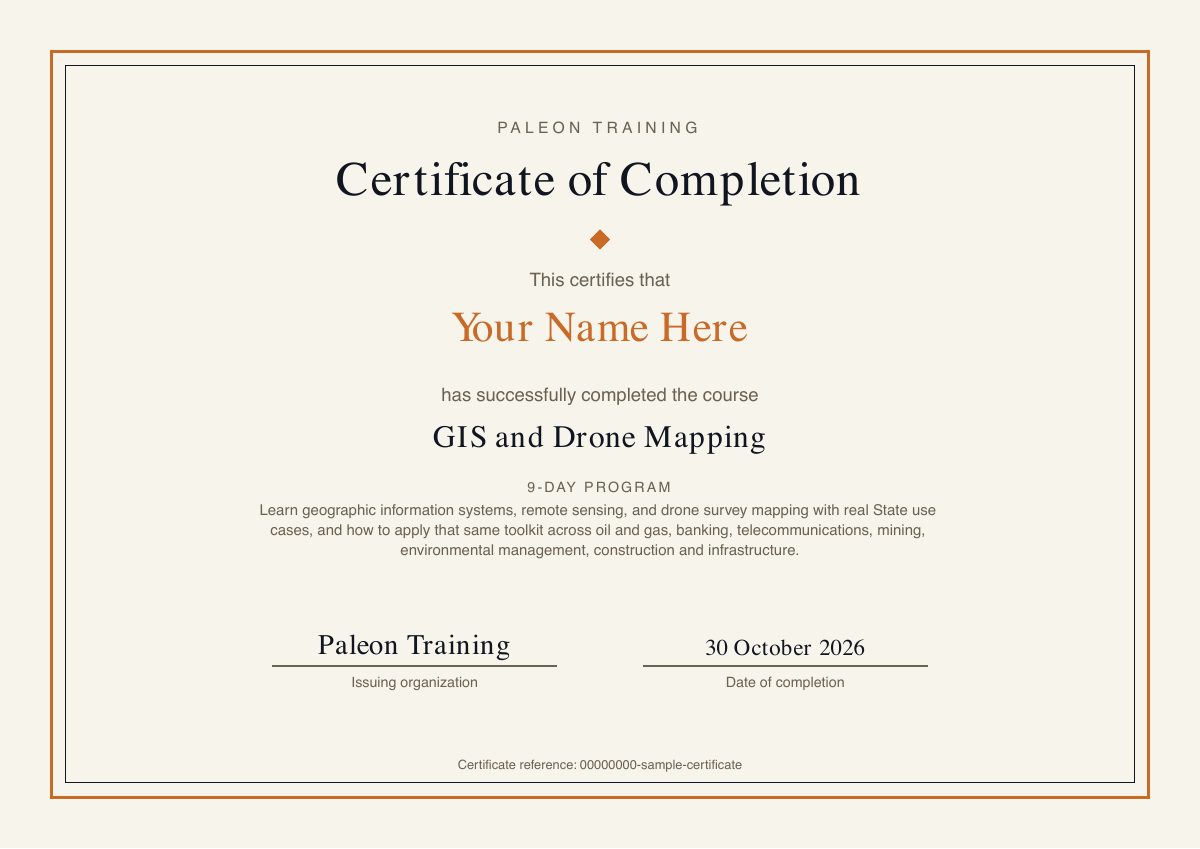
Finish every lesson and you can download your certificate from your dashboard. A sample is below.
CV and reference support
When you finish the course, including your capstone project, we help you prepare a CV that shows what you can do, with your capstone written up as real work. We’ll also provide a reference confirming what you completed, to support your job applications. Email hello@paleontraining.com to request either.
Help when you’re stuck
Report a problem from inside the portal and we reply within 1 working day (Monday to Friday, Nigerian time).
Sample certificate. Yours shows your name, completion date and a unique certificate reference.
Enrolment
Fees and how to enrol
The course fee is ₦200,000. Create an account, choose GIS and Drone Mapping, and follow the payment instructions shown when you enrol. Lessons unlock once your payment is confirmed. For team or company training, see corporate training.
Can’t pay it all at once? Start with ₦20,000. The deposit unlocks Days 1–2 straight away. Pay the balance of ₦180,000 whenever you’re ready to carry on; it unlocks the rest of the course, the capstone project and your certificate. Same total price, no extra fees. Choose “Start with ₦20,000” on the payment page.
QGIS, which is free and open source, with a comparison to ArcGIS so the concepts transfer to either platform.
Q2
Do I need my own drone?
No. The drone assignments are planning and documentation tasks, such as researching NCAA regulations and writing a drone survey specification, so you don’t need to own or fly a drone to complete the course.
Q3
What sectors does the course cover?
Day 9 covers oil & gas, banking, telecoms, mining, environmental management, construction and infrastructure, and the capstone offers seven sector options.
Q4
Does drone mapping replace land surveying?
No. Drone data supplements regulated land surveying by registered surveyors; it does not replace it.
Q5
Does completing the course guarantee a job?
No. The course builds practical skills and a portfolio project, and we help with your CV and a reference once you finish. Hiring decisions are made by employers.
Q6
Do you help with CVs and job applications?
Yes. Once you’ve completed the course and your capstone project, we help you prepare a CV that presents your skills and your capstone as practical evidence for employers. We also provide a reference from Paleon Training confirming the course and capstone you completed. Email hello@paleontraining.com to request them.